

Day 1 · Morning
Packs On at the Trailhead
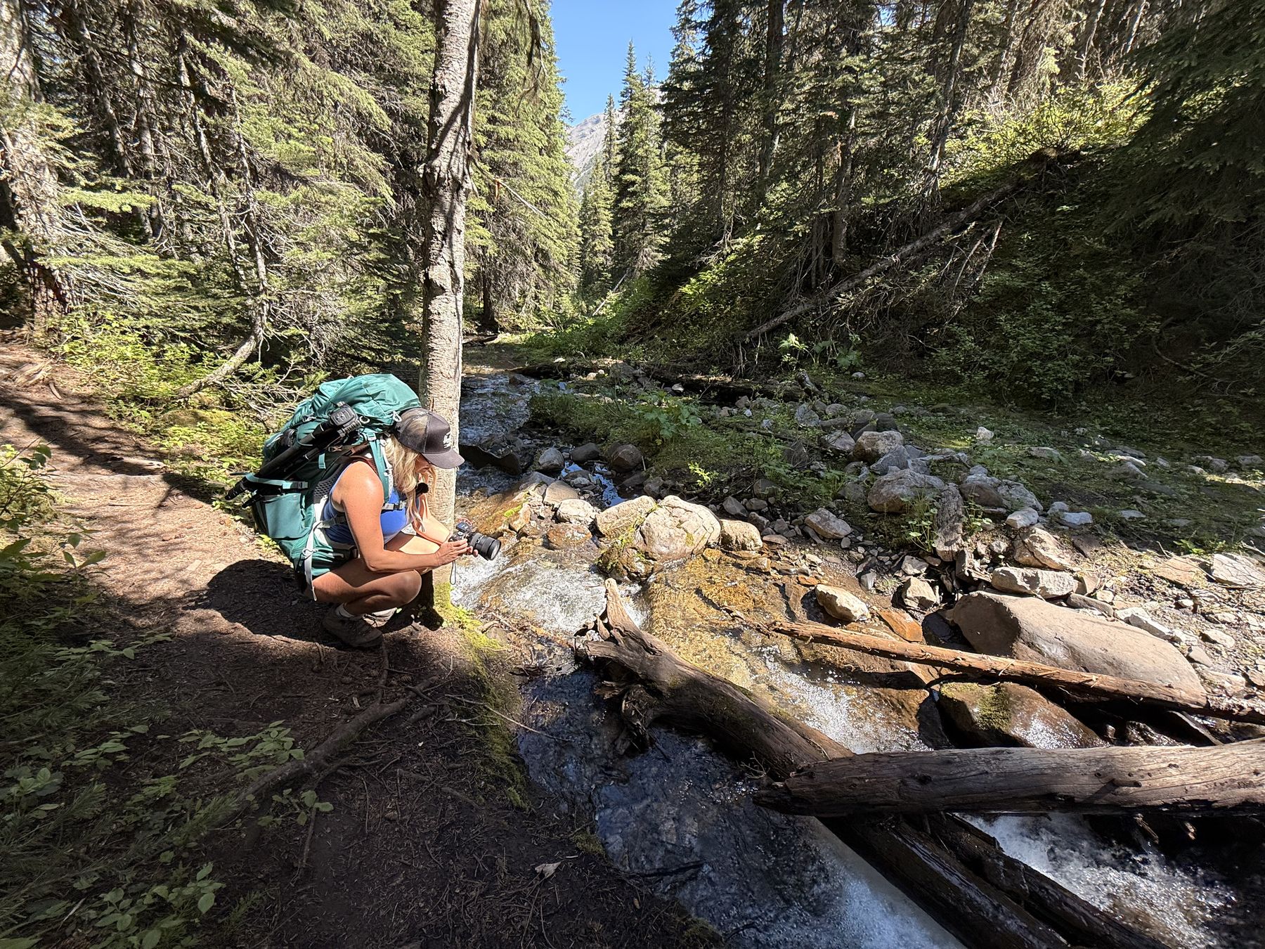
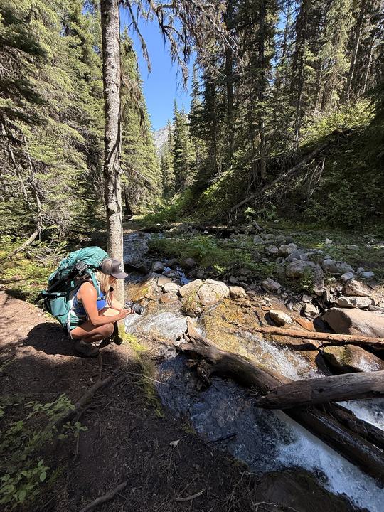
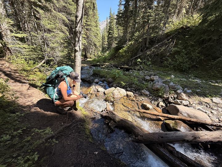
We shouldered full overnight packs at the Windfall Lake Trail sign and headed into the forest at about 10:50 a.m. The creek crossing made a good first stop.
 Private proof
A private website proof prepared by Nine10 Marketing. Sign in to view.
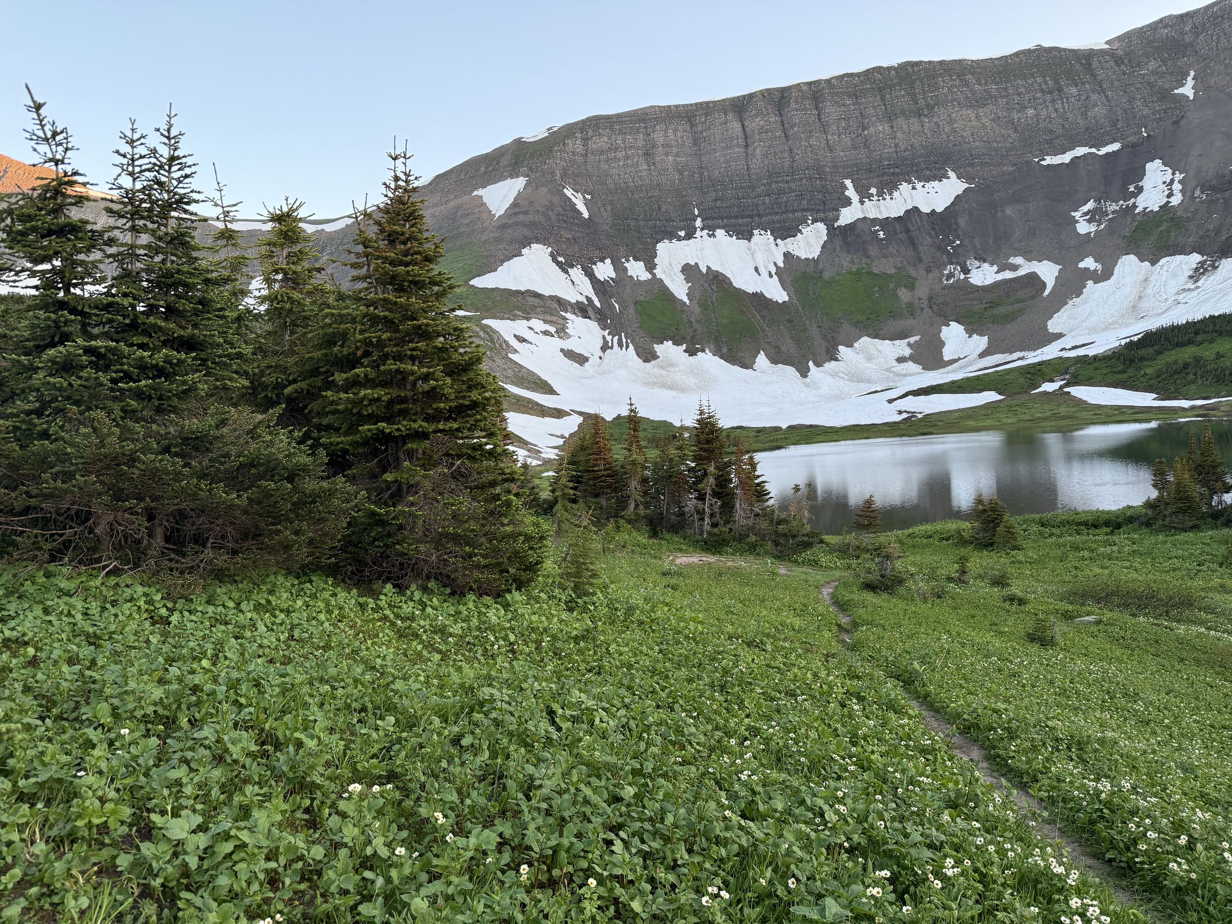
An alpine lake in a limestone cirque, a backcountry camp with tent pads under the headwall, and a Circular Route back over the alpine. Here is everything you need to plan the hike, plus the photos and film from our overnight in July 2026.
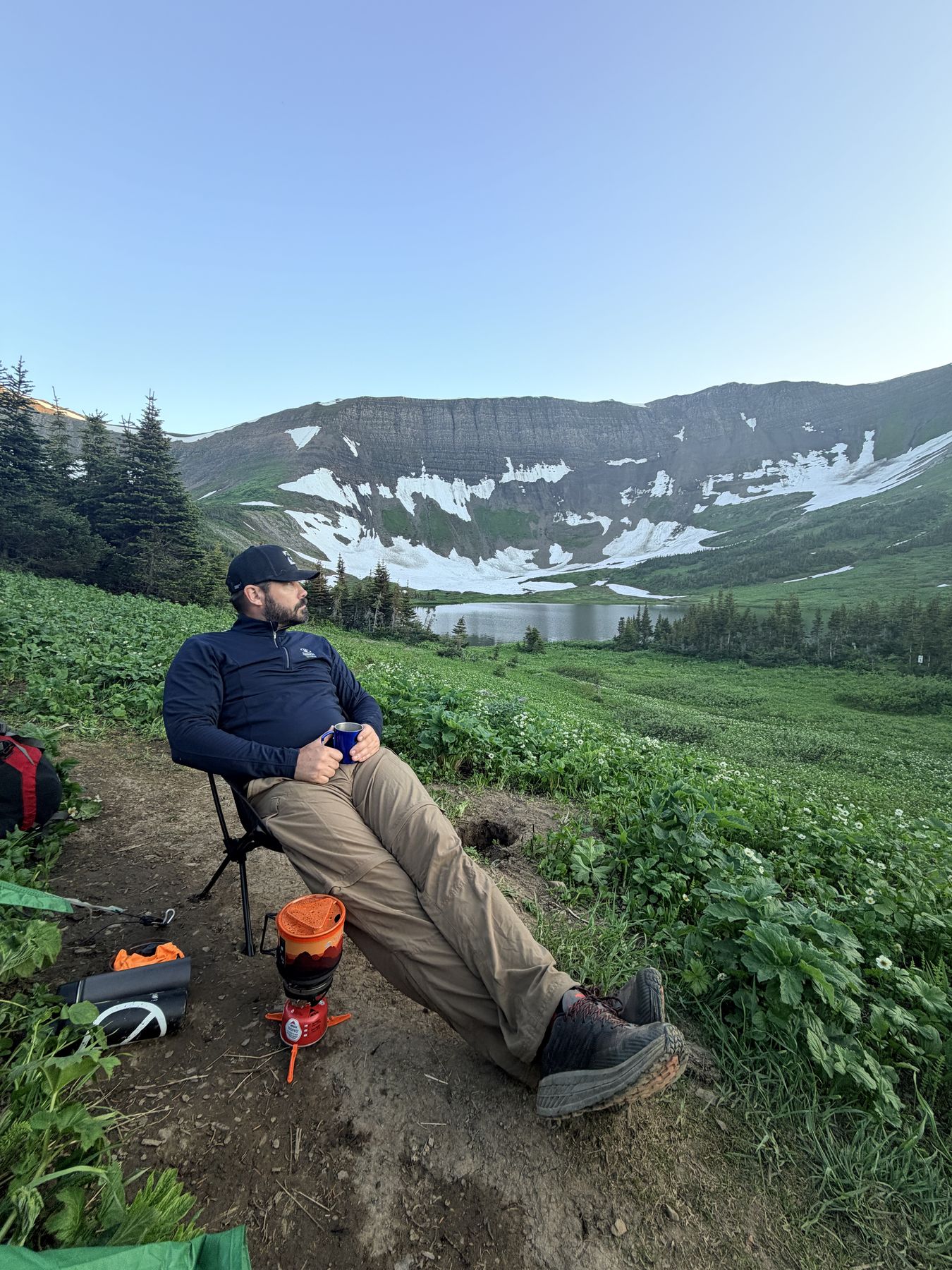
Windfall Lake sits in a cirque at treeline, west of Tumbler Ridge, below a wall of cliffs. The Wolverine Nordic & Mountain Society (WNMS), who build and maintain the trail, rate the hike Challenging: 10 km return to the lake, 414 m of elevation gain, and 5 to 7 hours on your feet.
The first half runs through lush, sometimes boggy forest on boardwalks. The trail then crosses a creek and climbs through open draws and meadows to the lake. Tent pads, food storage lockers, and an outhouse make it a well-equipped backcountry overnight.
It is a geosite in the Tumbler Ridge UNESCO Global Geopark, Western Canada’s only UNESCO Global Geopark, and it is where we started our BC season.
Sources: Wolverine Nordic & Mountain Society, Windfall Lake Hiking Route, Tumbler Ridge UNESCO Global Geopark, ihikebc trip report (cell service).
The trailhead is at the end of a forest service road west of Tumbler Ridge. Fill the tank in town and download your map before you leave, because there is no cell service on the forest service road.
Directions from the Wolverine Nordic & Mountain Society. Odometers vary: an ihikebc trip report puts the final turnoff at km 24.3 of the forest service road. WNMS lists radio channel RR32 for logging traffic.
The trail levels out, the rock wall comes into view, and the lake opens up in its bowl below the cliffs.
What to expect on the way up, and your options once you reach the lake.
The first half of the trail is lush forest with a few boggy sections. This area gets more rain than the nearby foothills, which is why the forest is so green. WNMS began installing boardwalks across the wet sections in 2015.
The trail crosses a creek and begins to climb through a series of open draws and meadows.
Keep right at the signed junction to head directly to the lake. The left fork is where the Circular Route rejoins the main trail.
Just past the junction, the steepest part of the trail has a rope to help, and it is tricky when wet. A section with steps installed in 2017 takes you up the last climb. Then the route flattens out, with views of the rock wall above the lake.
The lake sits in a bowl below impressive cliffs. Its outlet stream disappears underground a couple of metres from the shore. For drier spots to relax or swim, follow the left shore to the south end.
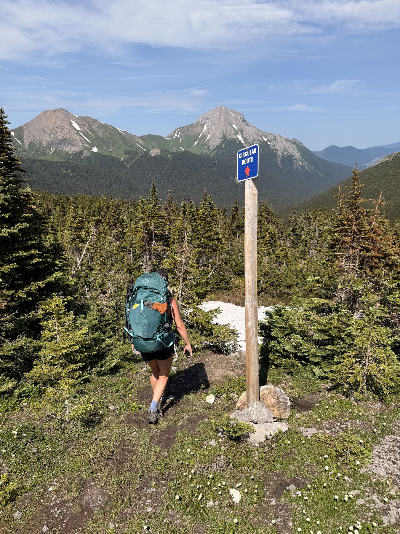
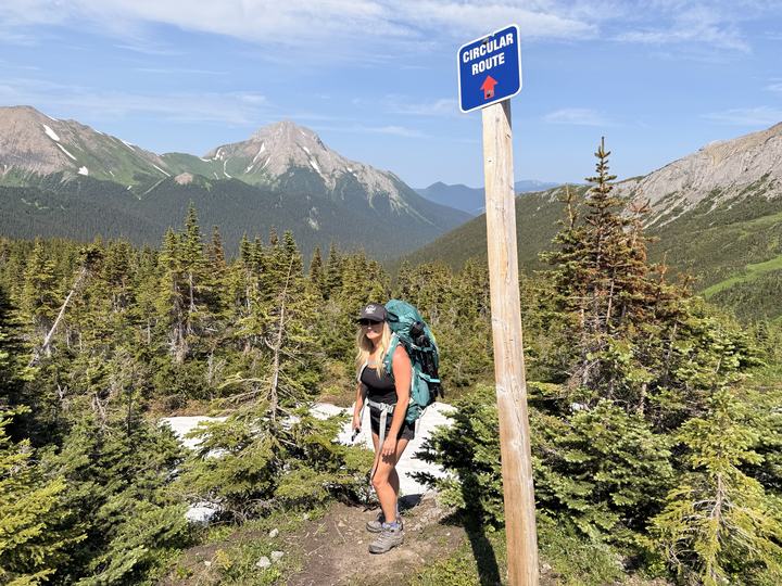
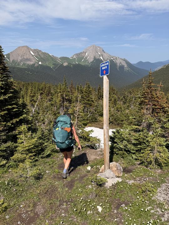
Instead of retracing your steps, you can return over the alpine. Tall posts marked “Circular Route” start near the campsite at the southeast end of the lake, each within sight of the next. The route climbs through meadows above treeline to a high point, heads northeast for about 1 km to a viewpoint over the valley, then drops left through meadow and forest to rejoin the main trail.
WNMS advises taking it only in good weather. If the weather is poor, go back the way you came. Expect limestone terrain with small caves, and a steep section that is tricky when wet.
Strong hikers with good route-finding skills can continue to Pinnacle Peak, climb the scree to the ridge west of the lake for views into the Sukunka Valley and a 2,093 m summit, or carry on to Tunnel Mountain and Mount Crum. The alpine ridges are often windy and fog can roll in without warning. Carry a GPS, map, and compass, and know how to use them.
Route details from the WNMS trail guide, the WNMS brochure (January 2025), the Tumbler Ridge UNESCO Global Geopark and ihikebc (the rope on the steep section). Elevation gain is 414 m per WNMS; the Geopark lists 370 m.
We recorded both days on AllTrails: the hike in on July 16 and the Circular Route out on July 17. Explore the map, follow our track, or download the GPX for your own GPS app.
Follow the posts up past treeline and you get the view the lake hides from you: ridge after ridge rolling off to the horizon.
Read the Route Notes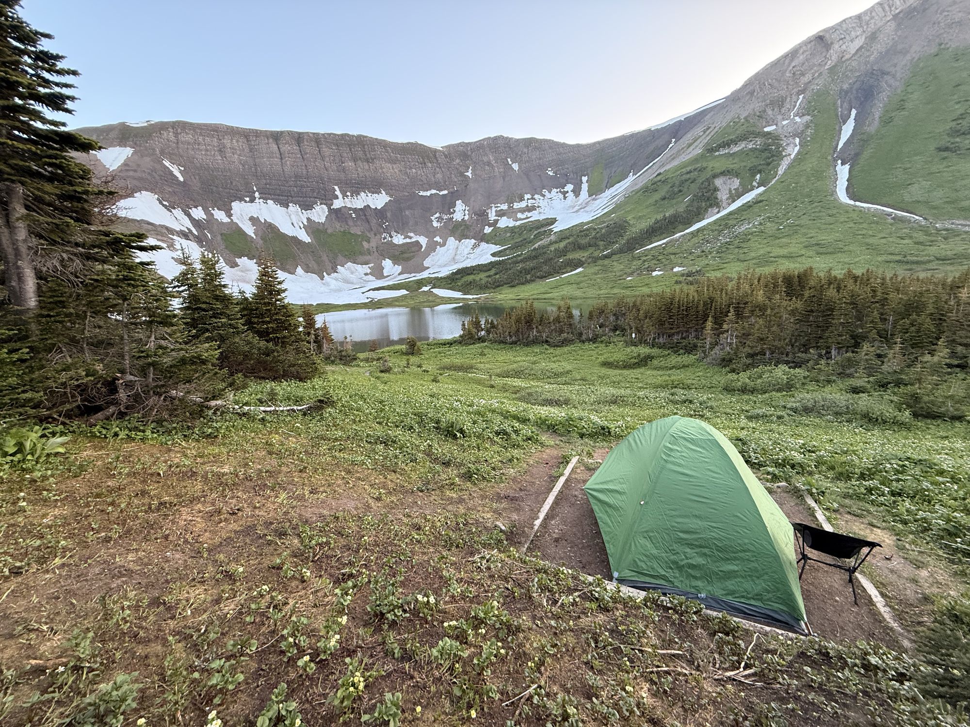
Windfall Lake has a backcountry campsite maintained by WNMS, with facilities first added in 2016. Pack out everything you pack in.
Sources: WNMS (facilities, fires), WNMS brochure (tent pads), Tumbler Ridge UNESCO Global Geopark (facilities added 2016, swimming).
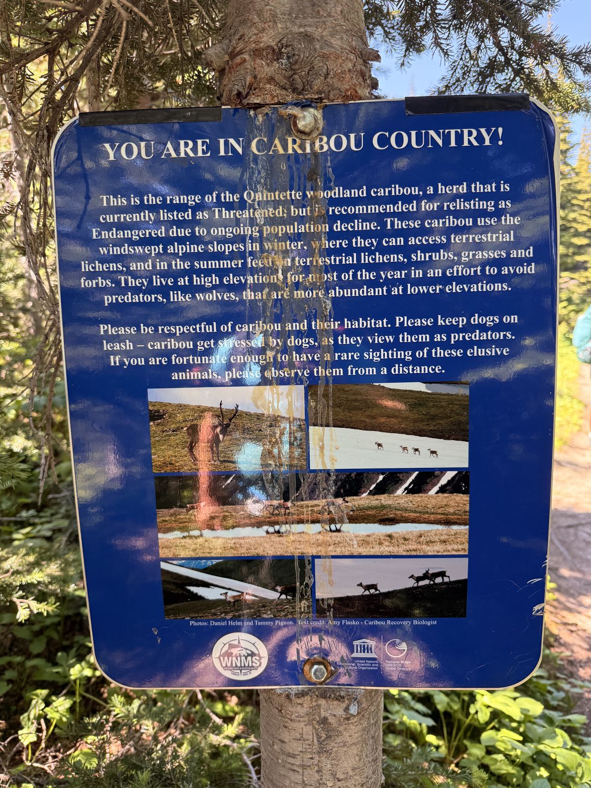
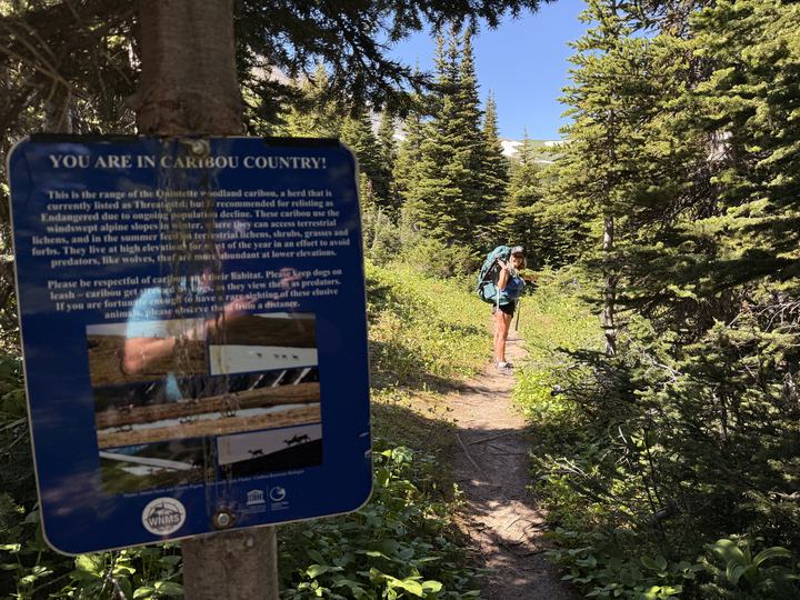
Sources: WNMS, Tumbler Ridge UNESCO Global Geopark, Visit Tumbler Ridge, AllTrails reviews (early-season snow), and the caribou signs on the trail. Check current conditions with the Tumbler Ridge Visitor Centre before you go.
Weather, wildfire, and road conditions change quickly up here. These official sources open straight to the right place, so check them the day you head out.
 Forecast at Windfall LakeHour-by-hour Environment Canada model forecast for this exact spot, via SpotWX. Mountain weather can differ a lot from town.
 Tumbler Ridge forecast and alertsThe official 7-day forecast for Tumbler Ridge, with any active weather warnings.Weather alerts mapEvery active Environment Canada warning and advisory, on a map.
The lower rocks around the lake are Mississippian limestone, laid down 359 to 323 million years ago in a shallow sea near the equator. Look for fossil corals, crinoids, and brachiopods. The cliffs of the headwall above are Triassic sandstone, which holds fossil fish.
Between the two, about 69 million years of rock is missing from the record. The limestone also makes this karst country: the lake drains underground, and nearby caves hold the only recorded underground icefalls in British Columbia. The caves are for experts with vertical caving gear only.
Source: Tumbler Ridge UNESCO Global Geopark, Windfall Lake geosite.
Read the Geopark’s Windfall Lake Page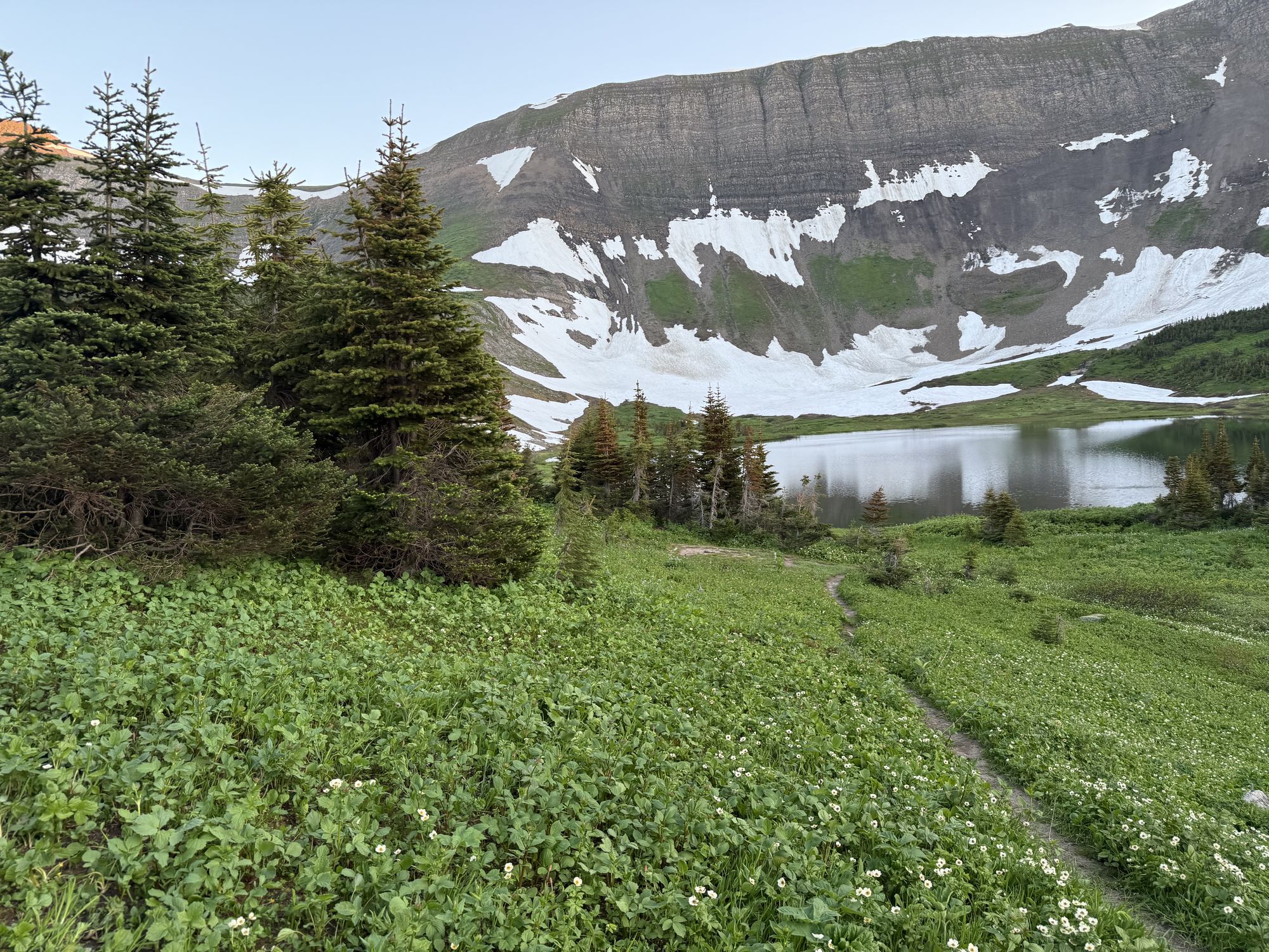
Two days, one night under the headwall, and the Circular Route home.
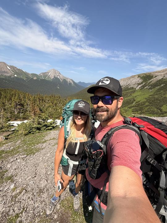
We shouldered full overnight packs at the Windfall Lake Trail sign and headed into the forest at about 10:50 a.m. The creek crossing made a good first stop.
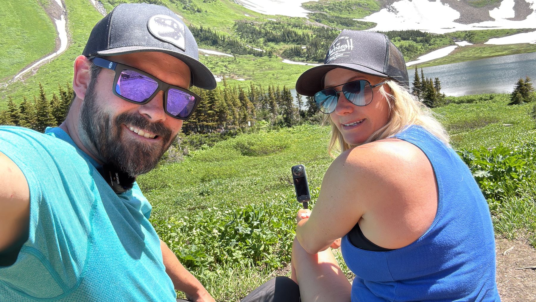
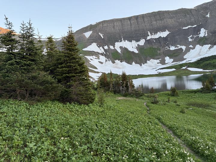
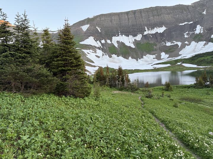
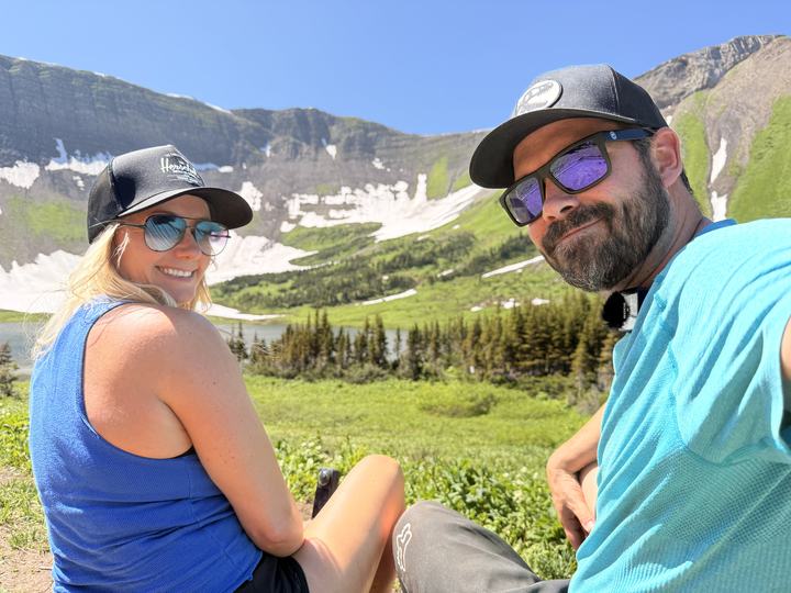
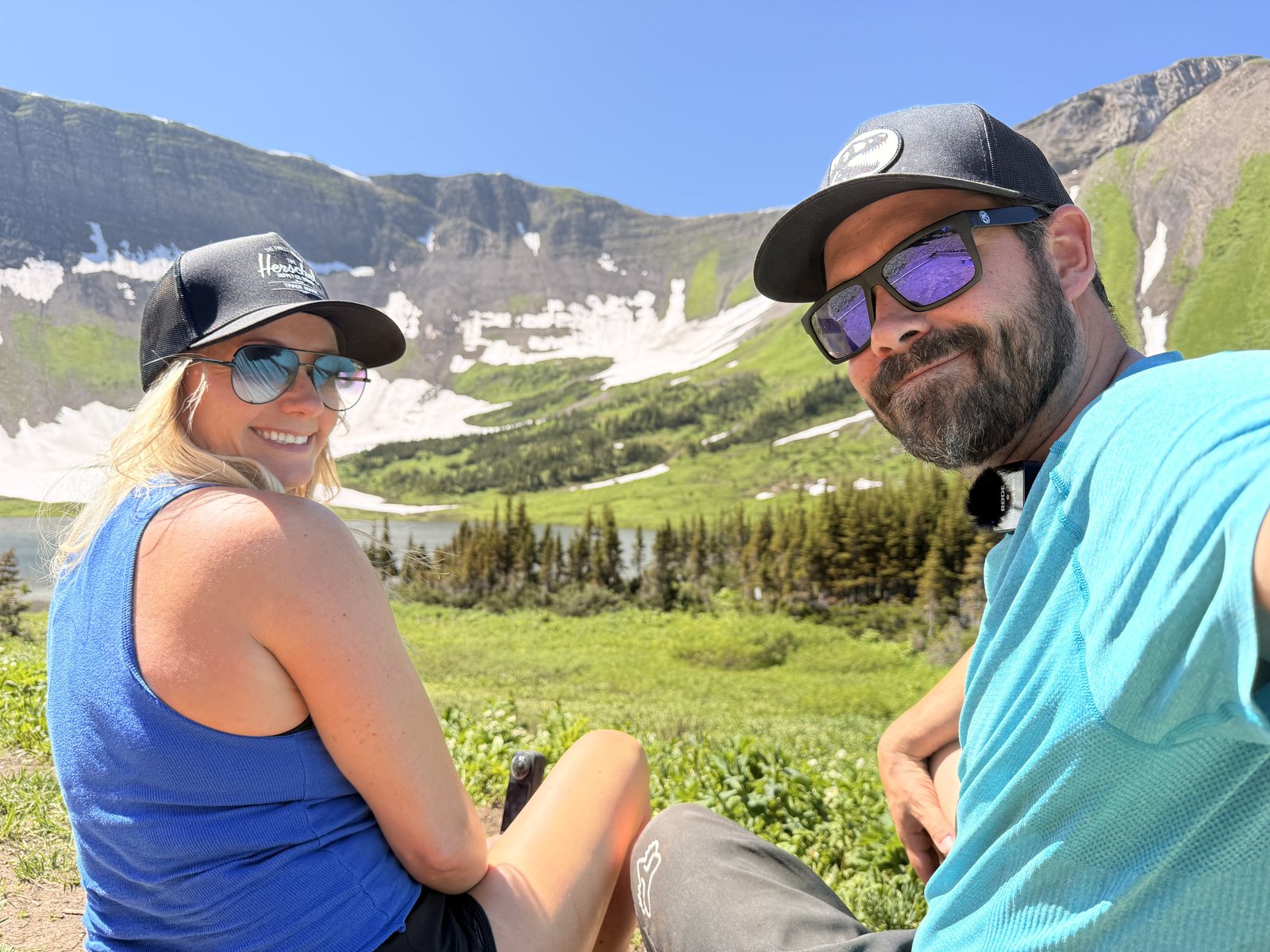
Up the last climb, the trail flattened out and the lake appeared below the headwall, with snow still hanging in the cirque in mid-July. We reached it at about 1:30 p.m.
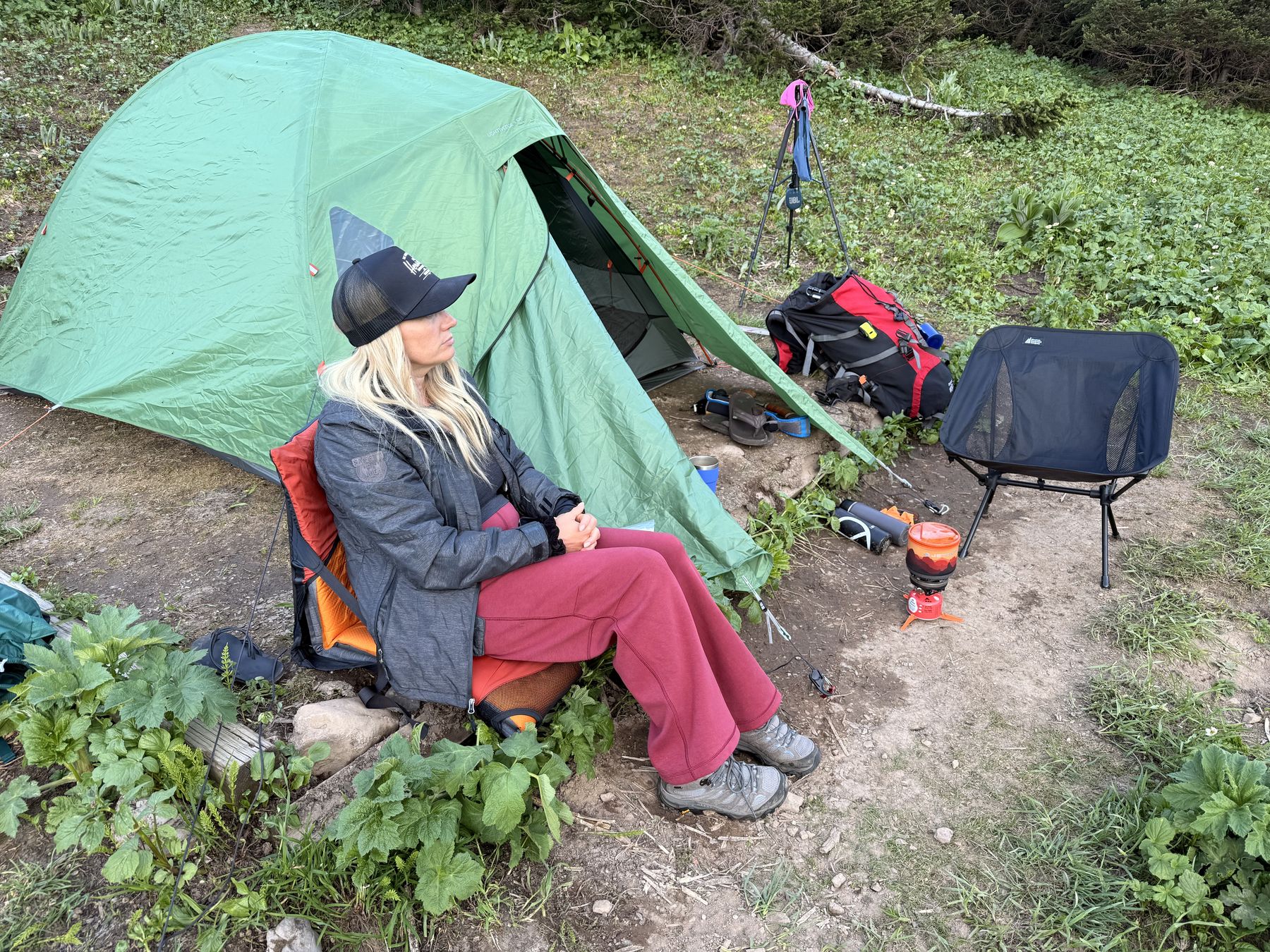
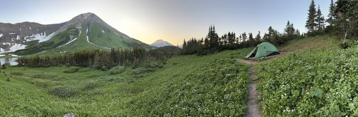
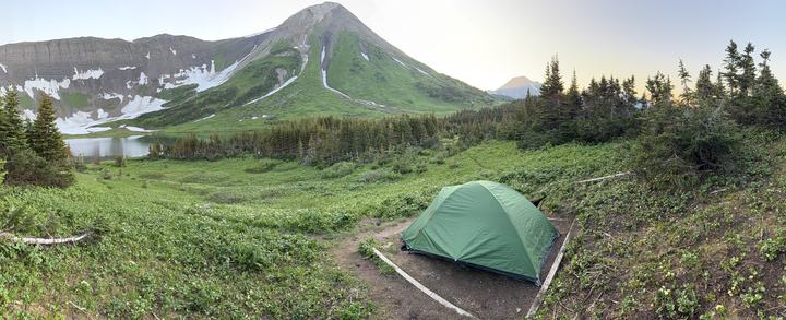
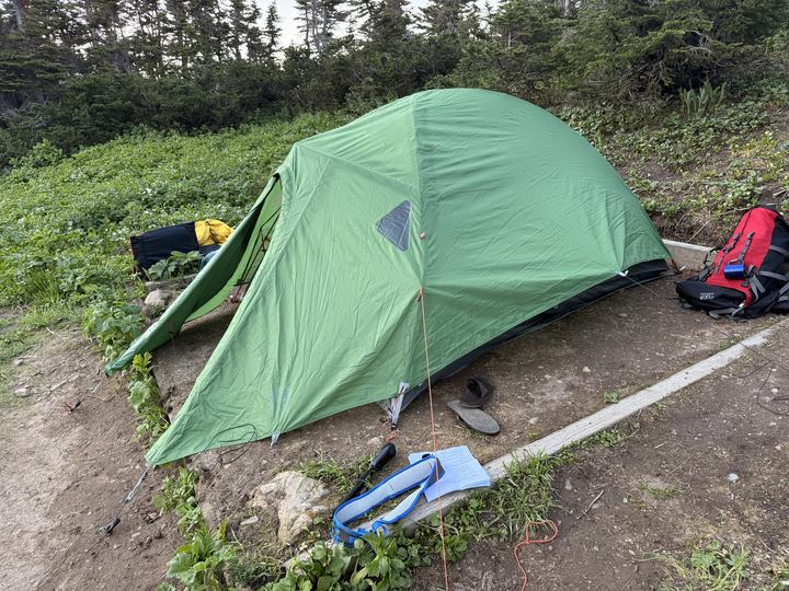
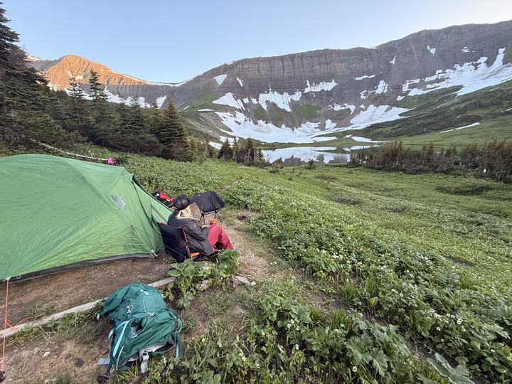
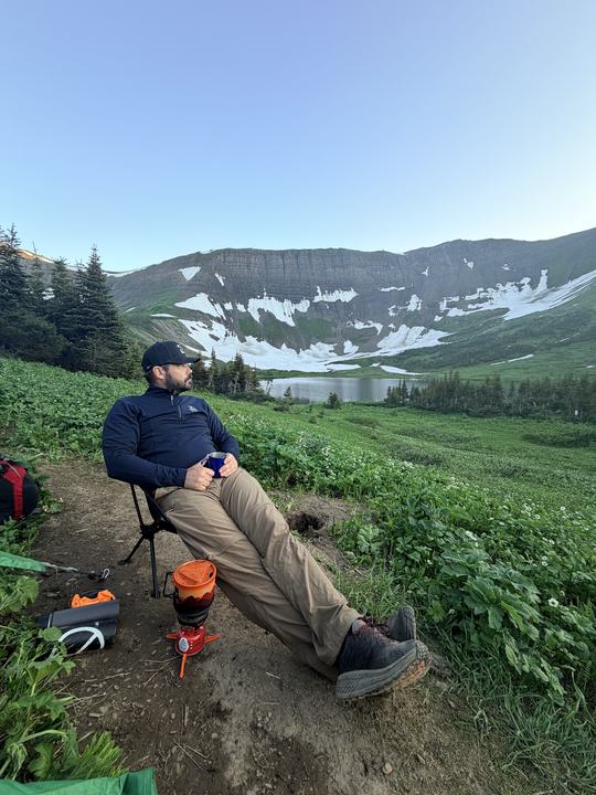
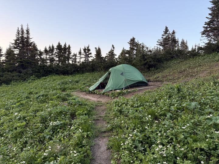
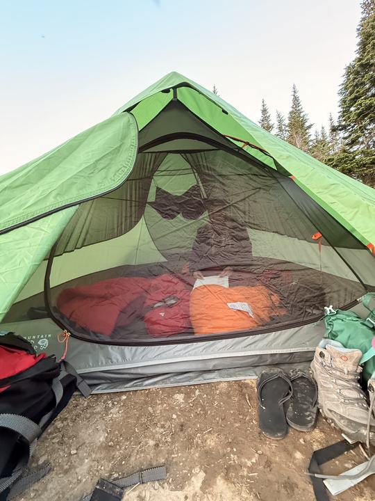
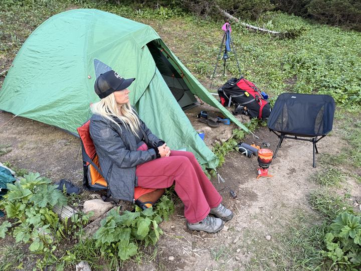
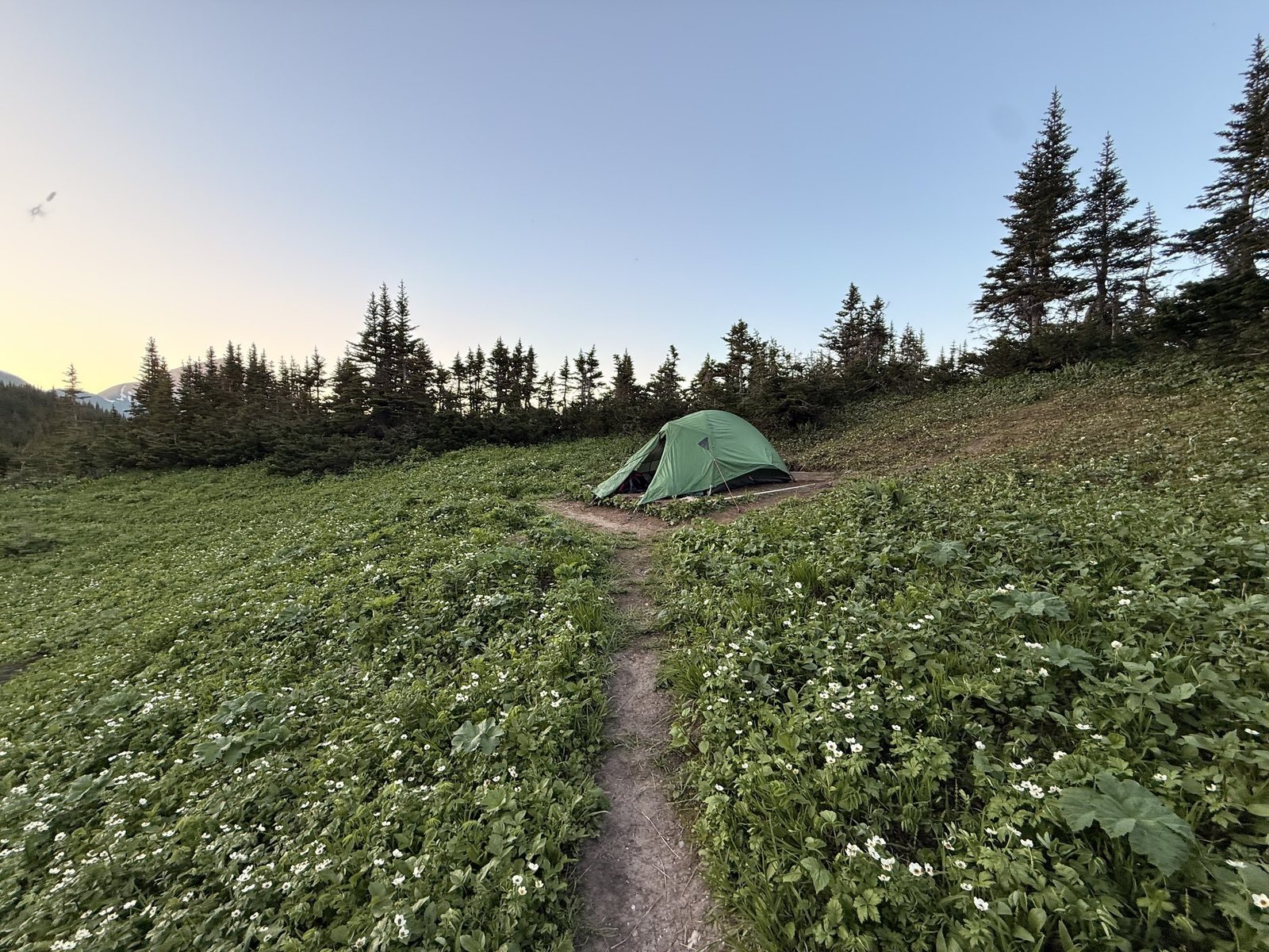
Tent up on the pad, stove on, and camp chairs out. The lake was cold and refreshing, and the view from our tent pad was the best we have camped with yet. With no campfires allowed, the evening was all about the light moving across the cliffs.
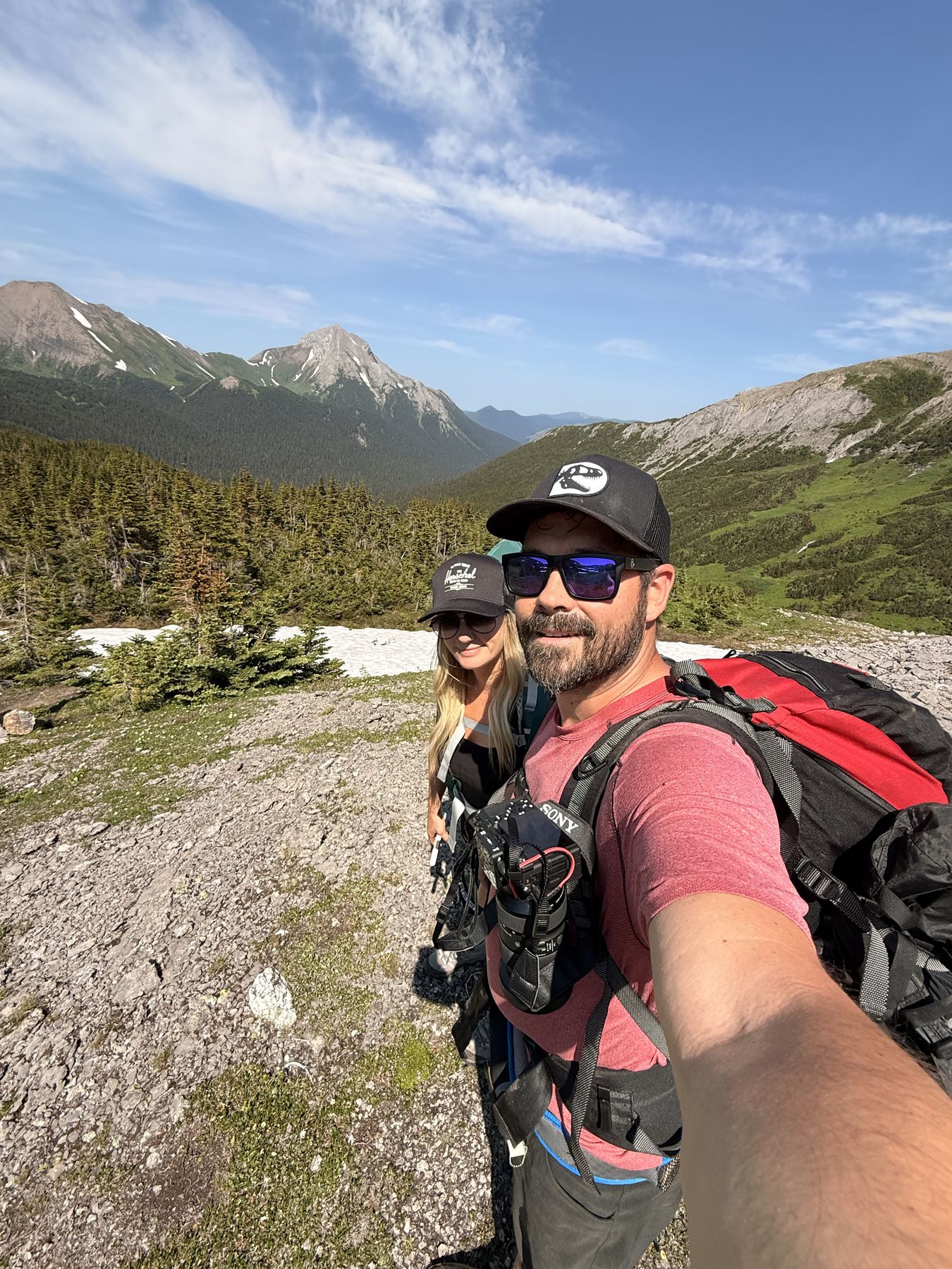
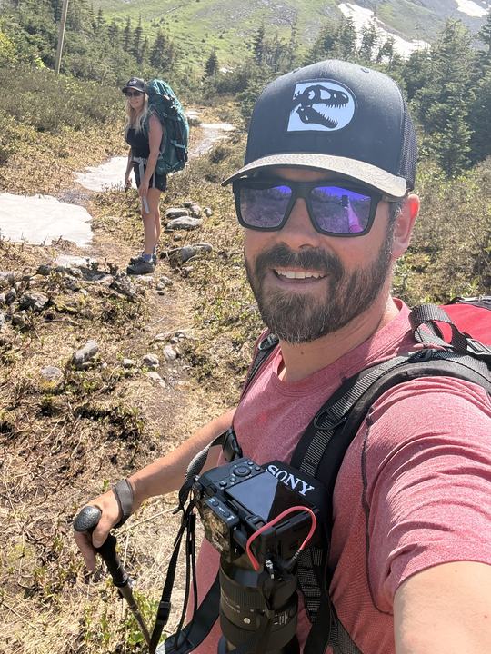
We packed up and took the Circular Route out, following the posts through snow patches and alpine meadow for the big views, then dropped back into the forest to rejoin the main trail. The views were worth it, and we highly recommend it. It was +30°C on the hike out, so manage your water.
We both filmed the trip, from the trailhead sign to the tent, and Stacie edited it. Press play and come along.
Watch Our Film
Filmed by both of us and edited by Stacie. The full episode lands on our YouTube channel first.
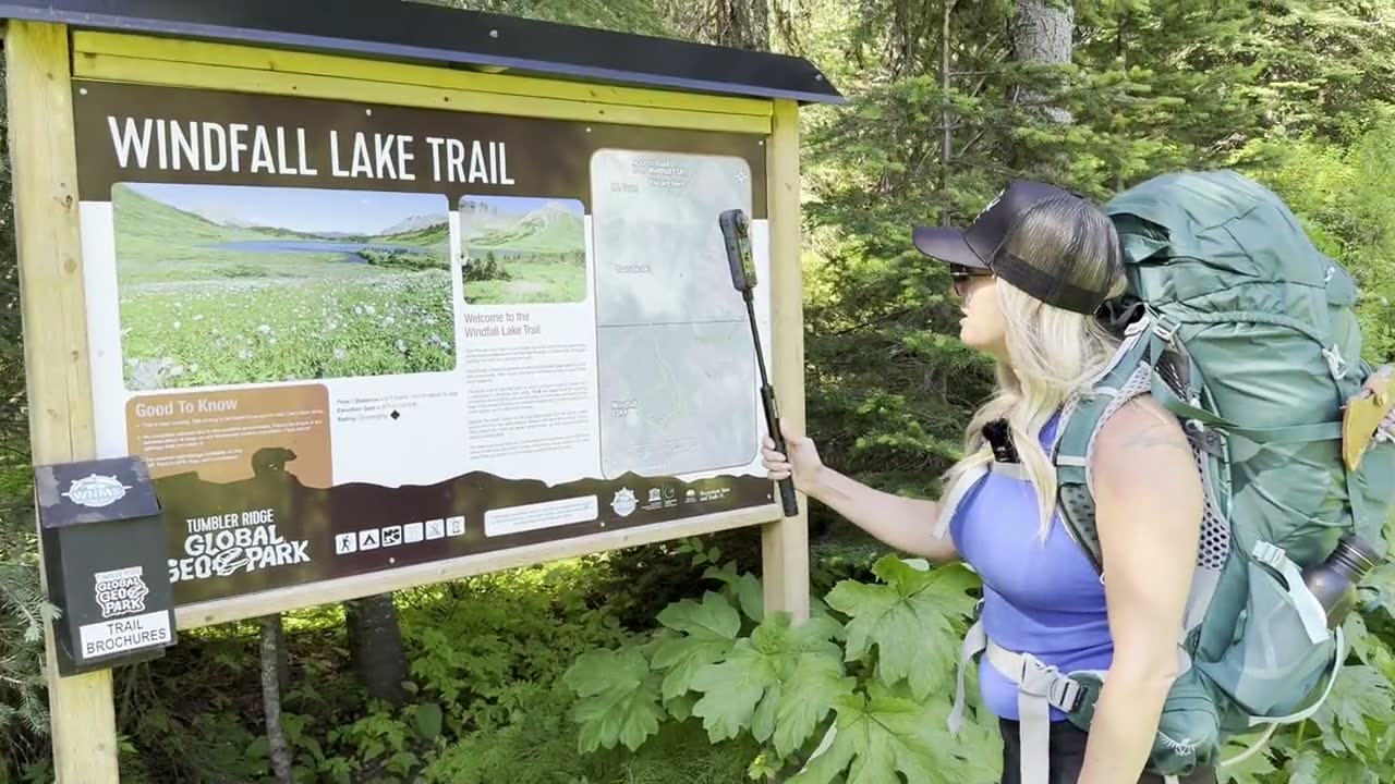
Starting out at the Windfall Lake Trail sign. 38 seconds.
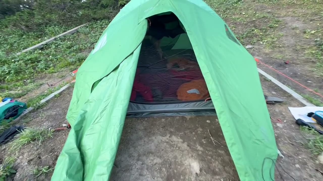
Night in the tent at the lake. 26 seconds.
“First trip. First film. Not a bad place to start.” The view from our tent door, as we posted it on Instagram on August 11, 2026.
Watch on InstagramNot ours. These are other people’s videos of the same trail and the peaks around it, shared because they are genuinely useful for planning. All credit to the creators; please subscribe to their channels.
 By Above Tumbler Ridge on YouTube
By Above Tumbler Ridge on YouTube
 By 13prevail Bushcraft on YouTube
 By Jordan Fox on YouTube
Videos from other creators are embedded from YouTube and remain the property of their owners. Wild Latitude is not affiliated with these channels. Nothing loads from YouTube until you press play.
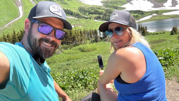
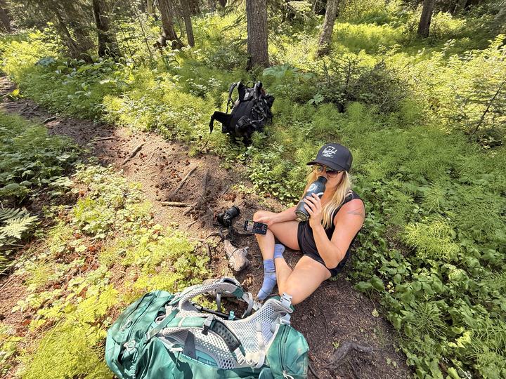
Our photos from the trail, the lake, the camp, and the Circular Route, July 2026. Select any photo to open it full size.
The sources we used to plan, plus the maps and apps we would download before losing signal.
 Trail Brochure (PDF)WNMS Windfall Lake brochure, January 2025GPX TrackWNMS track to the lake with the circular exit
 Avenza Maps: NOBC43 Mount CrumBackroad Mapbooks map covering the Windfall Lake area
 Our AllTrails RecordingOur two-day hike in and Circular Route out, July 2026
 Our GPX TrackDownload the GPS track from our July 2026 hikeAllTrailsWindfall Lake Trail reviews, photos, and recent conditions
 TrailforksWindfall Lake area trail map
 Google MapsWindfall Lake Trailhead pin and driving directions
 Tumbler Ridge Visitor CentreMaps, trail advice, and porcupine wire. 265 Southgate St, (250) 242-3123Backcountry SafetyVisit Tumbler Ridge safety information
 DriveBCHighway 29 road conditions and closures
 Visit Northeast BCPlan a wider trip across northeastern British ColumbiaPinnacle PeakAnother WNMS hike from the same trailhead
The hike is about 10 km return to the lake, with 414 m of elevation gain according to the Wolverine Nordic & Mountain Society. Plan on 5 to 7 hours. The Tumbler Ridge UNESCO Global Geopark lists the elevation gain as 370 m.
WNMS rates it Challenging. The first half is forest with boggy sections on boardwalks, followed by a steady climb through meadows and a set of steps to the lake. The optional Circular Route is harder, with a steep section that is tricky when wet.
From Tumbler Ridge, drive north on Highway 29 for 25 km to the former Bullmoose Mine turnoff. Follow the Bullmoose mine road for 17 km, turn left onto the Windfall Creek Forest Service Road, go straight at the km 9 junction, over the pass at km 14, and turn left at km 23. The trailhead is 1.8 km down that side road.
Yes. The backcountry campsite has tent pads, food storage lockers, a dishwashing station, and an outhouse. There was no fee and no reservation system when we camped in July 2026: tent pads were first come, first served. Campfires are not permitted, so bring a stove, and pack out everything you pack in.
No. There is no cell service on the forest service road or the trail. Download your maps before you leave Tumbler Ridge and carry a GPS, map, and compass.
Summer. In early summer a snowfield still runs into the lake and snow can block the Circular Route. By late summer the lake is warm enough to swim, according to the Geopark.
An alternate way back from the lake over the alpine. It starts near the campsite at the southeast end of the lake, follows tall marker posts above treeline to a valley viewpoint, then drops back to the main trail. WNMS recommends it only in good weather.
Answers draw on the WNMS trail guide, the Tumbler Ridge UNESCO Global Geopark, ihikebc and our own trip.
Every trip we take gets its own guide. Start with the others in northeastern BC.
The region guide: where to go, how to plan, and every guide in the region.
Every Wild Latitude adventure guide across Alberta and BC.
The region guide: where to go, how to plan, and every guide in the region.
Grab the WNMS brochure, download your map, and follow along for the next adventure.